Description
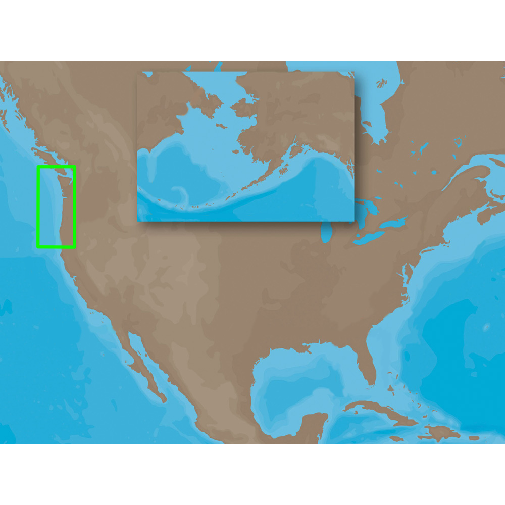
NA-M621 => Cape Blanco to Puget Sound
Coverage includes the offshore bathymetric details for the coasts of Oregon and Washington. Coverage actually starts around the Klamath River delta in California and goes up to Cape Flattery, and around into Puget Sound. Coverage of the San Juan Islands up to Point Roberts is also included. Fishing Contour Charts do not include coastal navigational features and are recommended for offshore fishing only.This product may not be returned to the original point of purchase. Please contact the manufacturer directly with any issues or concerns.
Card Format = SD

