


Description
Garmin GPSMAP1543XSV 15in Ultrawide Combo No Transducer With US and Canada, GN+
Model: 010-03855-01
- ULTRAWIDE IN-PLANE SWITCHING (IPS) 15-INCH DISPLAY FITS A VARIETY OF HELM LAYOUTS, INCLUDING "FLOATING DISPLAY" CONFIGURATIONS
- CONNECT TO COMPATIBLE THIRD-PARTY DEVICES WITH DIGITAL SWITCHING AND ONEHELM™ INTEGRATIONS
- EASILY BUILD YOUR MARINE SYSTEM BY USING OUR ADVANCED NETWORK CONNECTIVITY
- NAVIGATE WATERS CONFIDENTLY WITH PRELOADED GARMIN NAVIONICS+ CHARTS ON SELECT MODELS
- SEE BELOW YOUR BOAT WITH BUILT-IN SONAR CAPABILITIES
- MANAGE YOUR MARINE EXPERIENCE FROM NEARLY ANYWHERE
Offering a sleek aesthetic in an ultrawide edge-to-edge glass format, this advanced 15-inch chartplotter clearly expands your perspective at the helm. It is 74% wider and boasts more pixels than a standard 9-inch chartplotter, providing enhanced viewing clarity.
Stunning display, with minimal trim borders and edge-to-edge glass, the GPSMAP 15×3 chartplotter features an ultrawide, high-resolution touchscreen interface with the familiar, easy-to-use functionality of our existing GPSMAP x3 series chartplotters
This versatile chartplotter’s ultrawide IPS display provides wider viewing angles, accurate colors, superior clarity and sunlight readability — even with polarized sunglasses.
Experience the benefits of dual screens with the convenience of seamless control. Split-screen functionality lets you size and organize your display configuration to put the data you need right where you want it.
Specifications
| General | |
| Weight | 15.3″ x 7.02″ x 3.3″ (388.9 x 178.5 x 82.9 mm) |
| Water rating | IPX7 |
| Touchscreen | Yes |
| Display Type | Ultrawide display, IPS |
| Display Size | 13.6″ x 5.1″; 14.5″ diagonal (34.6 x 12.9 cm; 36.8 cm diagonal) |
| Display resolution | 1920 x 720 pixels |
| Mounting Options | Bail, flush or flat (Garmin does not offer any hardware or accessories for a flat-mount installation. Professional tools and knowledge is required.) |
| Polarized lens viewability | Yes |
| Maps & Memory | |
| Accepts Data Cards | 2 microSD cards (back of device) |
| Compatible with Garmin SD card reader | Yes (USB card reader) |
| Waypoints | 5000 |
| Track points | 50,000 |
| Tracks | 50 saved tracks |
| Navigation Routes | 100 |
| Sensors | |
| GPS | Yes |
| GLONASS | Yes |
| Galileo | Yes |
| Has built-in receiver | Yes |
| Receiver | 10 Hz |
| NMEA 2000 Compatible | Yes |
| NMEA 0183 Compatible | Yes |
| Supports WAAS | Yes |
| Supports multi-band, multi-constellation GPS | Yes (with external GPS antenna) |
| Built-in Maps | |
| Built-in Auto Guidance+ | Yes |
| Garmin Navionics+ Inland & Coastal | Yes |
| Tide tables | Yes |
| Electrical Features | |
| Power Input | 10 to 32 Vdc |
| Typical current draw at 12 Vdc | 2.44 A |
| Maximum current draw at 12 Vdc | 4.21 A |
| Maximum power usage at 10 Vdc | 56.93 W |
| Sonar Features | |
| Displays sonar | Yes |
| Power output | 1 kW |
| Traditional sonar (dual frequency/beam) | Yes |
| ClearVü | Yes |
| SideVü | Yes |
| Panoptix sonar | Yes |
| LiveScope | Yes |
| Connections | |
| NMEA 2000 ports | 1 |
| NMEA 0183 Input (Rx) Ports | 1 |
| NMEA 0183 output (Tx) ports | 1 |
| Video input ports | 1 (BNC composite) |
| J1939 ports | 1 |
| Garmin Marine Network Ports | 2 |
| 12-pin transducer ports | 1 |
| USB ports | Yes |
| BLUETOOTH pairing | Yes (BLE) |
| ANT (Connectivity) | Yes |
| Garmin Wi-Fi network (local connection) | Yes |
| Input Voltage | 10 to 32 Vdc |
| Dimensions | 15.3″ x 7.02″ x 3.3″ (388.9 x 178.5 x 82.9 mm) |
What’s in the Box:
- GPSMAP 1543xsv ultrawide chartplotter
- microSD card preinstalled
- Power cable
- Thin flush mount kit with gasket
- Protective cover
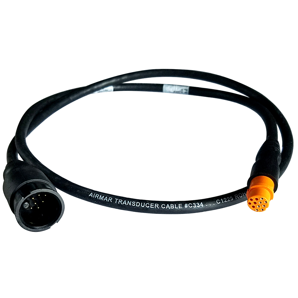
- 8-pin transducer to 12-pin sounder adapter cable
- 2 m backbone/drop cable and T-connector for NMEA 2000 Network
- Documentation


